Coastal prospecting
Fundamental part for all coastal development is to carry out prospecting studies to characterize the zone being studied as to the oceanographic parameters that govern it, as well as to locate the best site to develop the project and that this one affects the environment in the least possible way. And that it becomes ocean graphically viable and successful.
- Marina feasibility studies
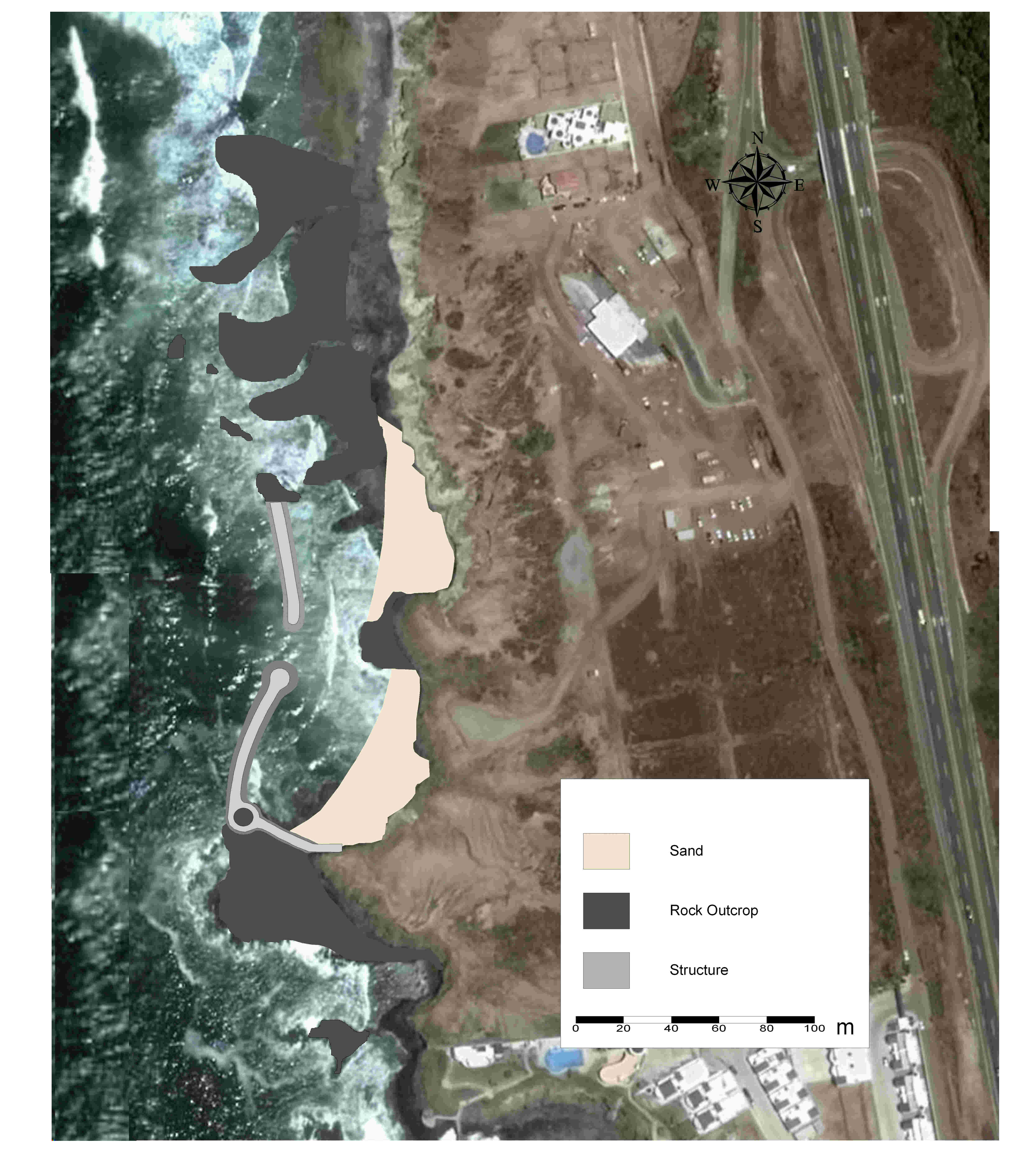
- Artificial and man-made beach design
- Coastal development
- Combined cycle center
Coastal planning
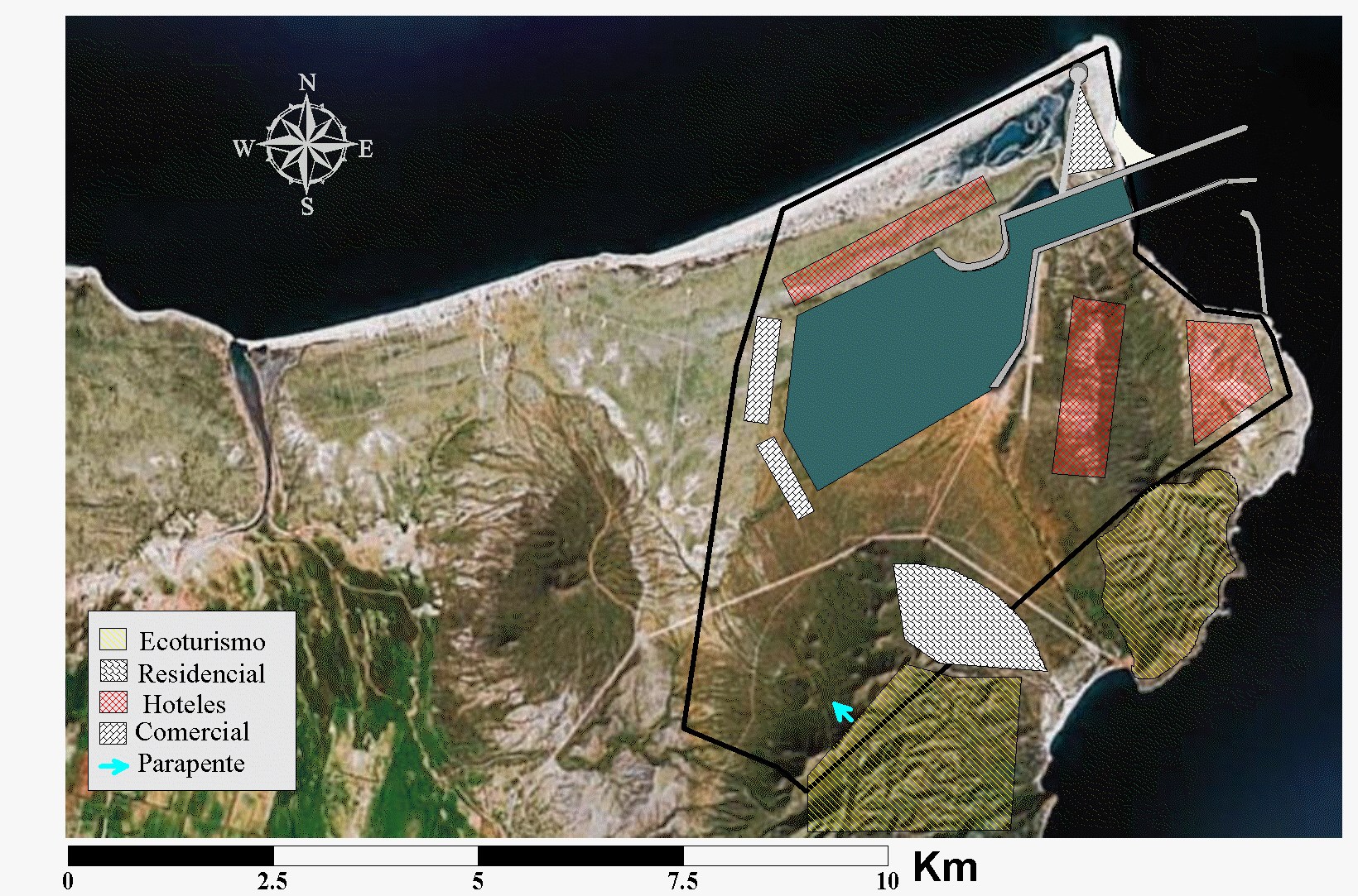
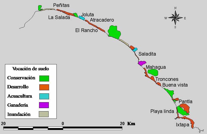
The coastal zone is a fluctuating system, governed by physical, ideological an chemical processes. To make coastal zones developments in a sustainable way, it is important to carry out interdisciplinary planning studies. CE Oceanografia, offers FODA analysis, characterization of the coastal zone, zoning, and land use vocation for the coastal zone.
- Development Feasibility Studies
- Land use zoning
Pollutants dispersion
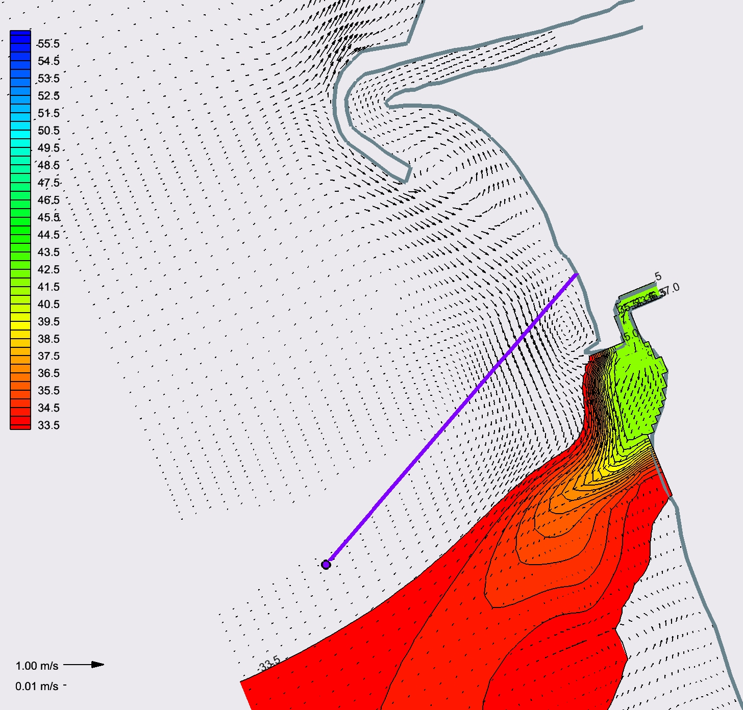
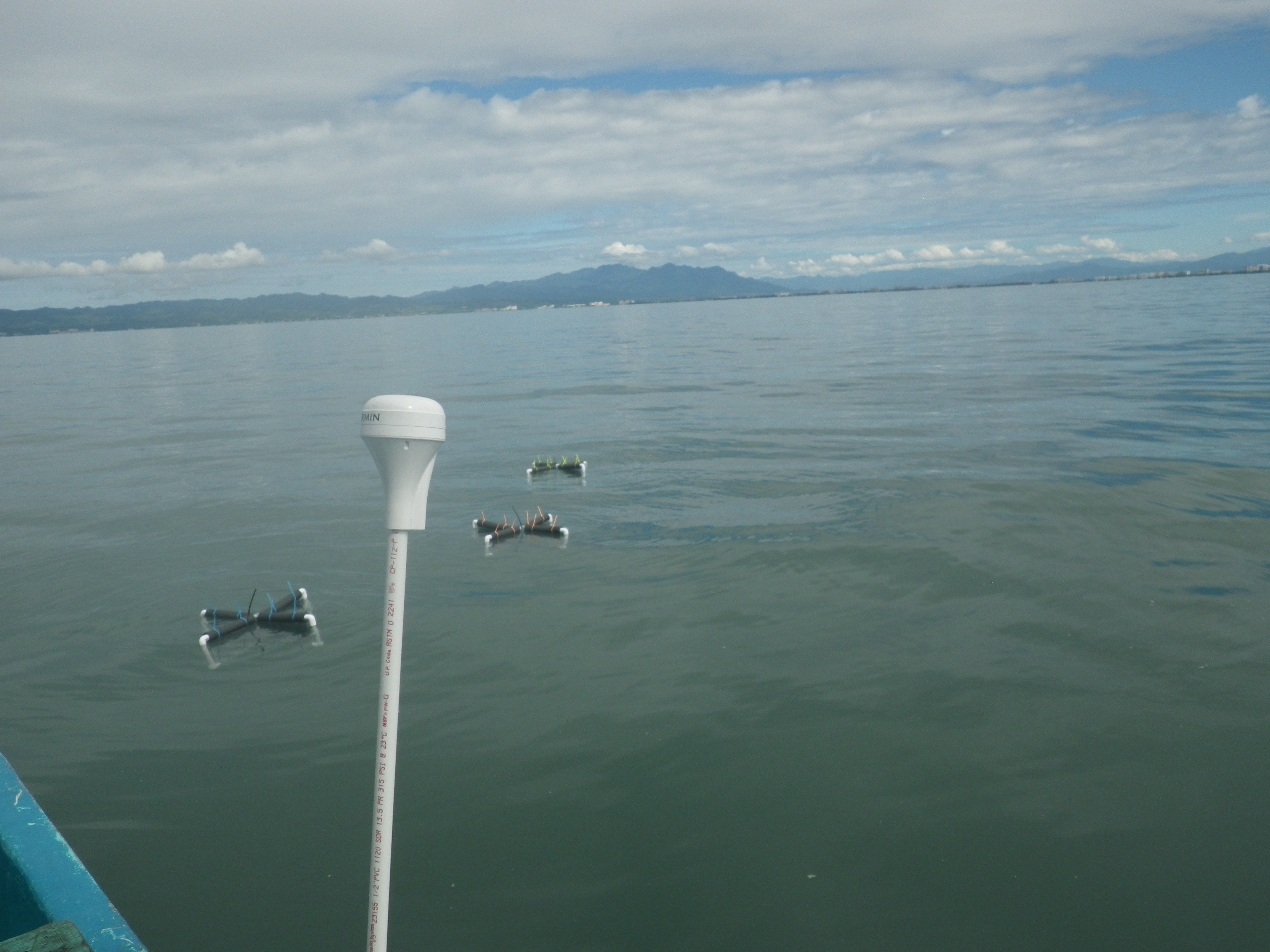
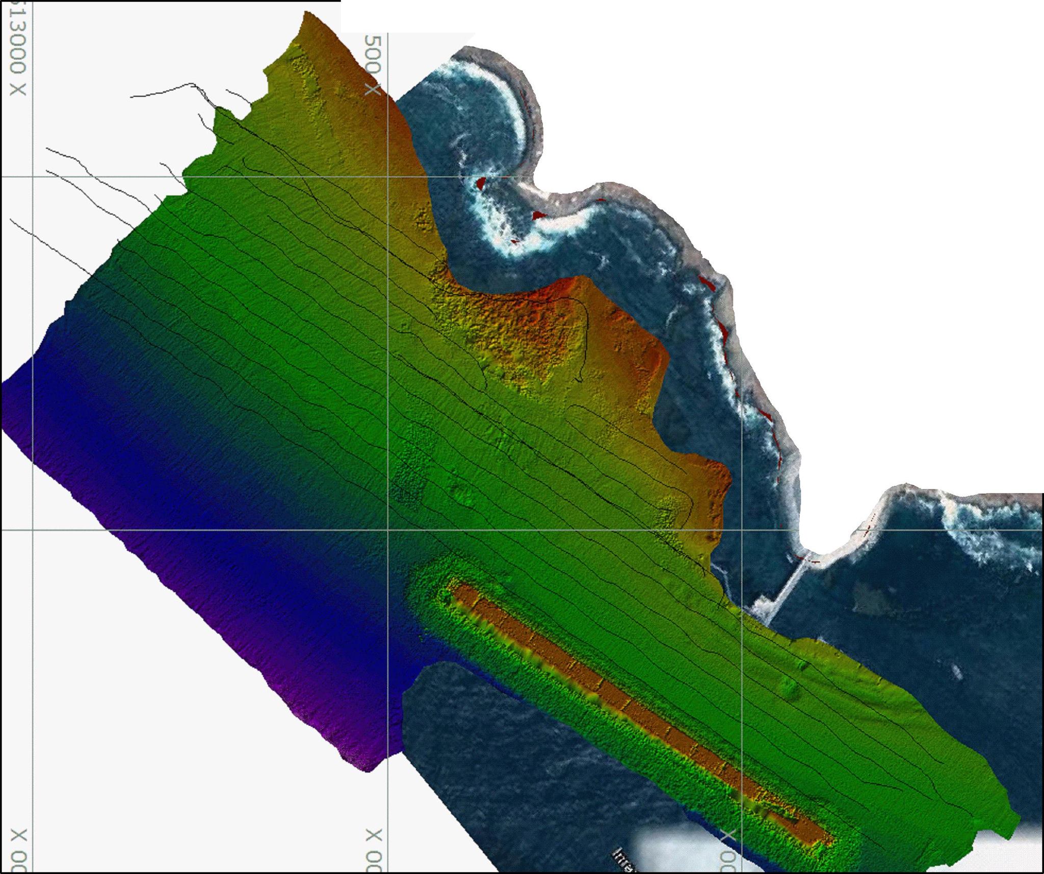
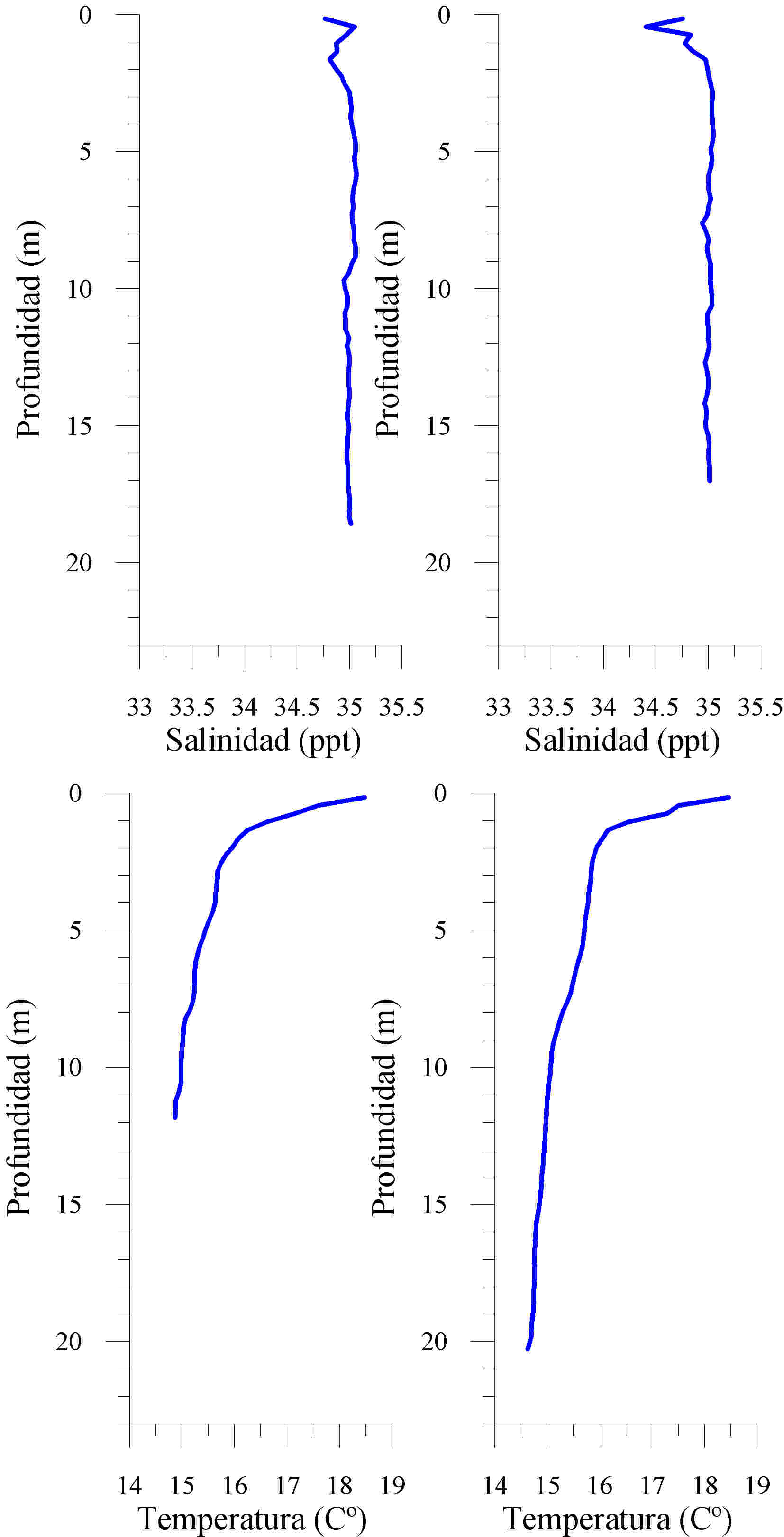
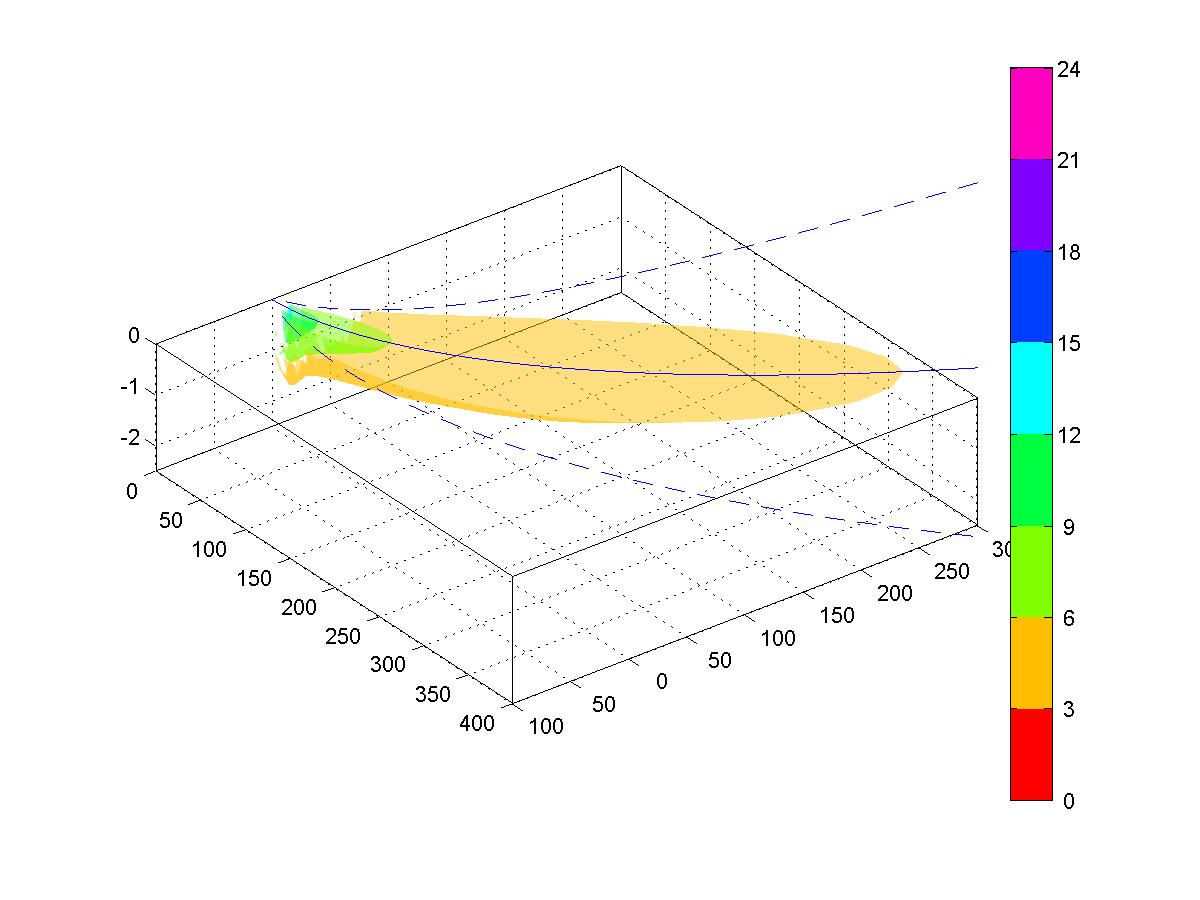
The coastal area is in constant pressure from urban development. It is important to know the coastal zone currents to study and forecast the substances flow by the different current effects. This type of jobs is associated with desalination plants, underwater diffusers, thermal discharges and dredged material disposal derrick or crane, and others. CE Oceanografia has the instruments and equipment to measure currents, echo-sounders, physicochemical parameter profilers, dispersion numerical models.
- Desalination plants
- Dredged material disposal
Coastal engineering
To implement coastal infrastructure projects it is important to take into account wave surge, currents and coastal processes from an engineering point of view. This is done by doing stress calculation over the structures to determine the right structure design and to guarantee its right functioning and operation.
- Wave surge statistics service
- Wave design calculation
- Stone material/sediment quantification
- Dredging volumes
Basin management
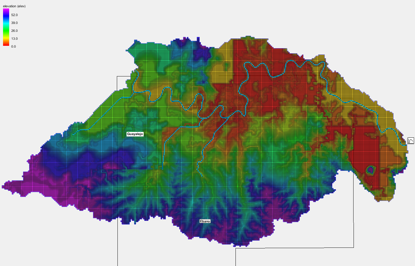
The management of basin for sewage services and water utility is important for the sustainable development, as well as to reduce the sediment and contaminants dumping to lakes, dams and into the ocean. Through GIS (Geographic Information Systems) tools and numerical modeling with field verification, it is possible to determine and control the sources of contaminants, and also implement management practices that reduce the sediment supply with things like retention and infiltration boards. Another application in the basin study is to generate alert systems for river overflow floods. CE Oceanografia has the personnel with 15 years of experience in the study of basins for water systems and sewage systems.
Oceanographic data procuerment
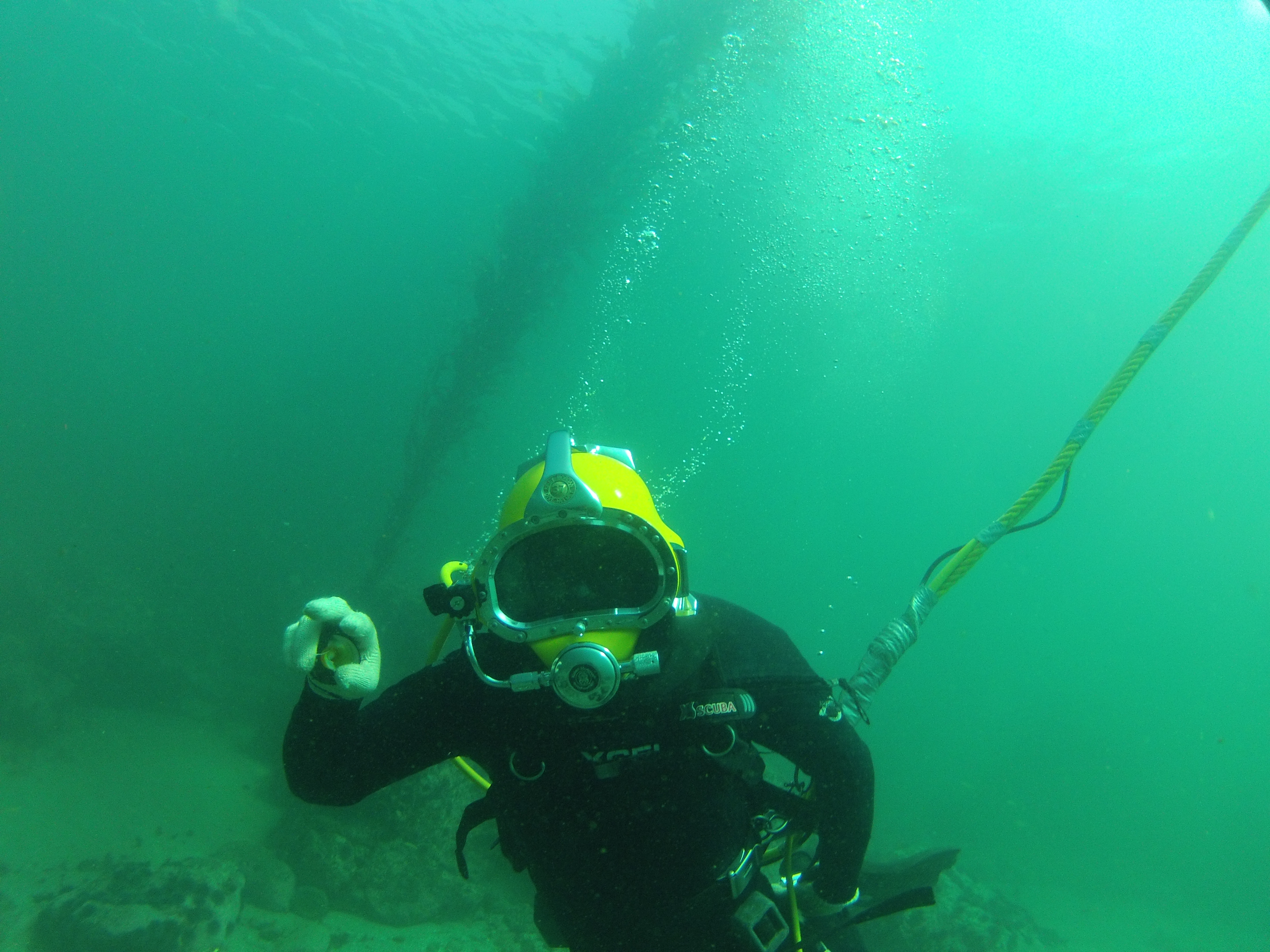
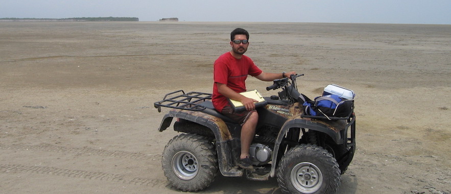
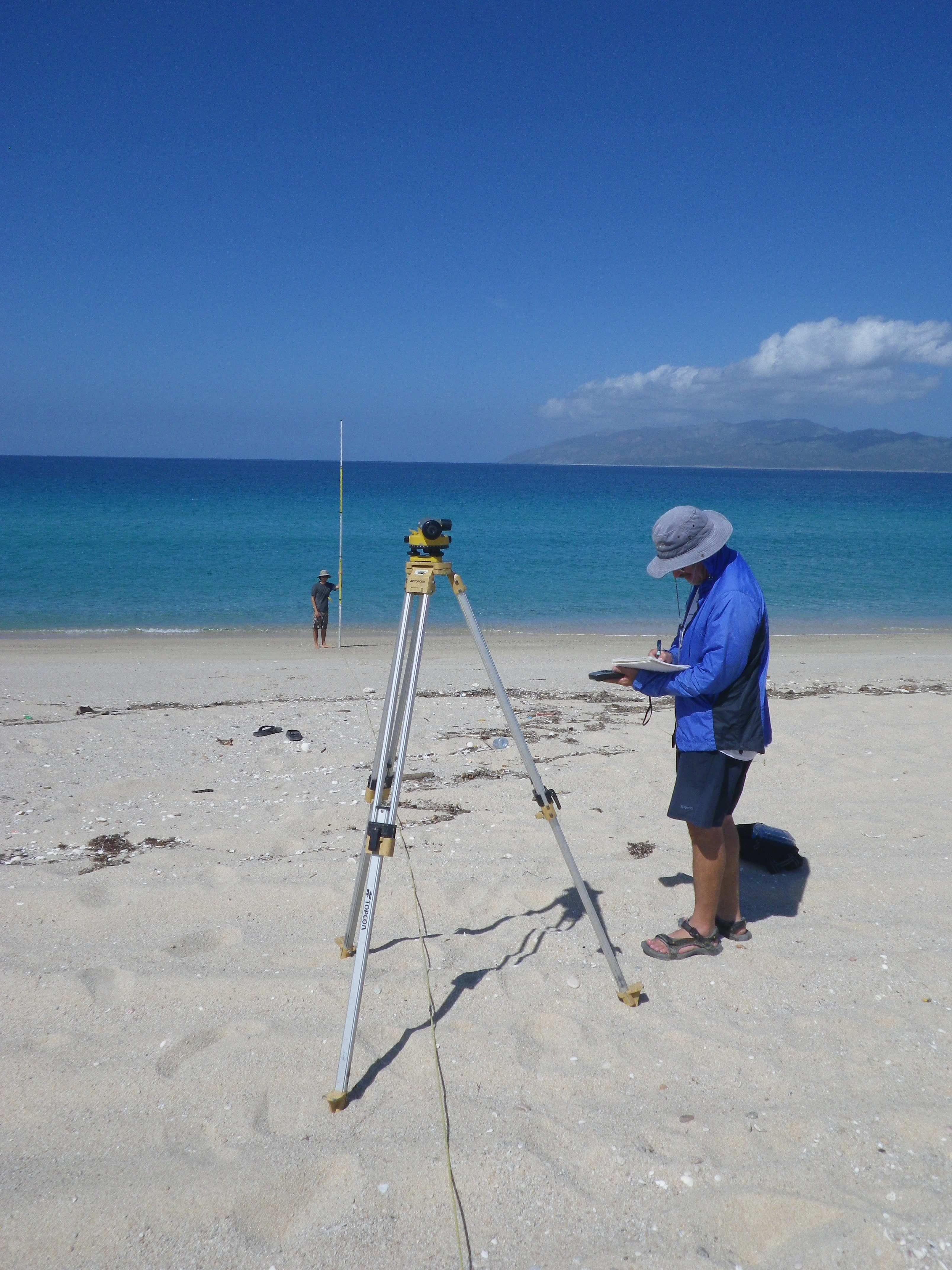
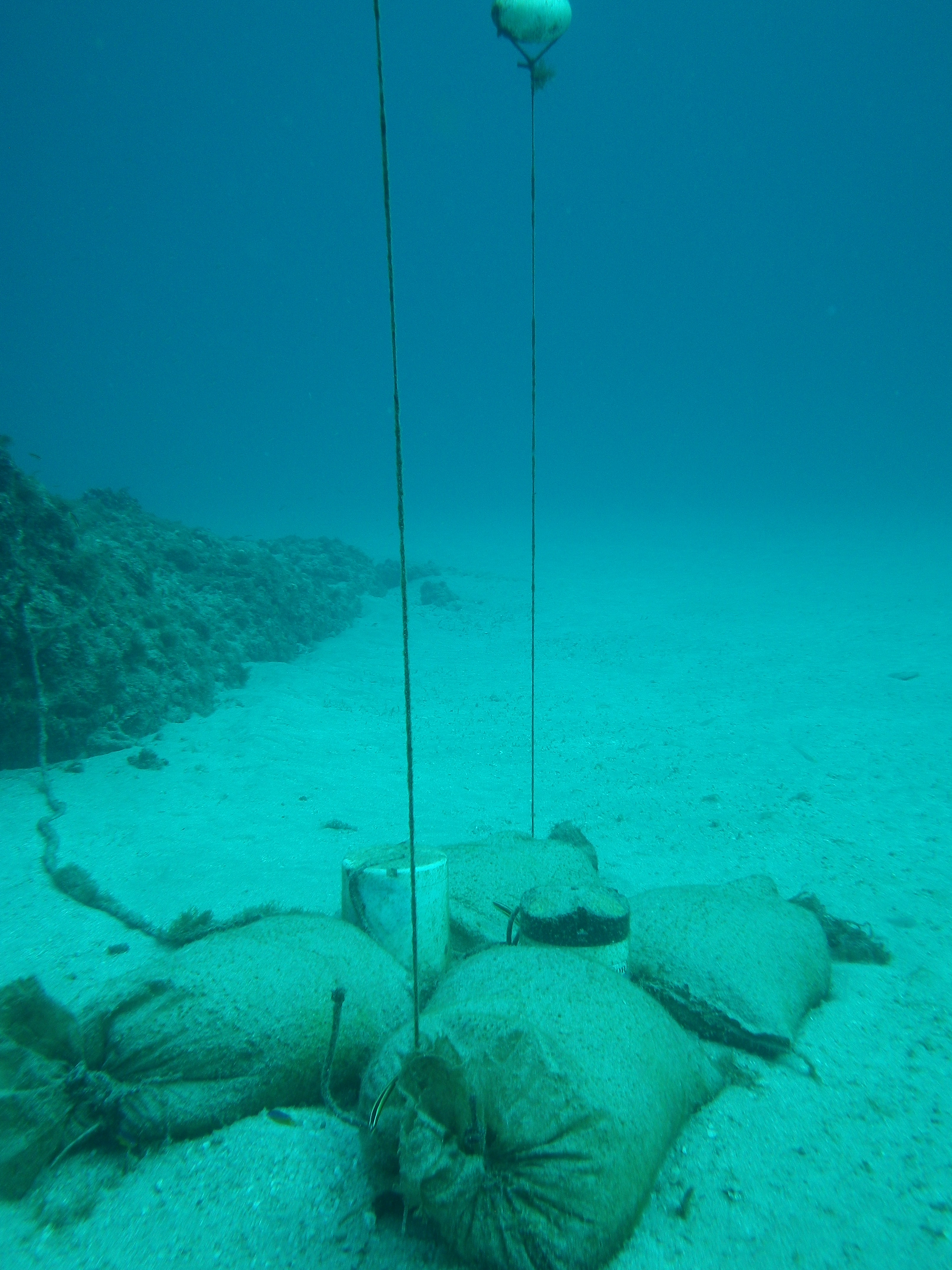
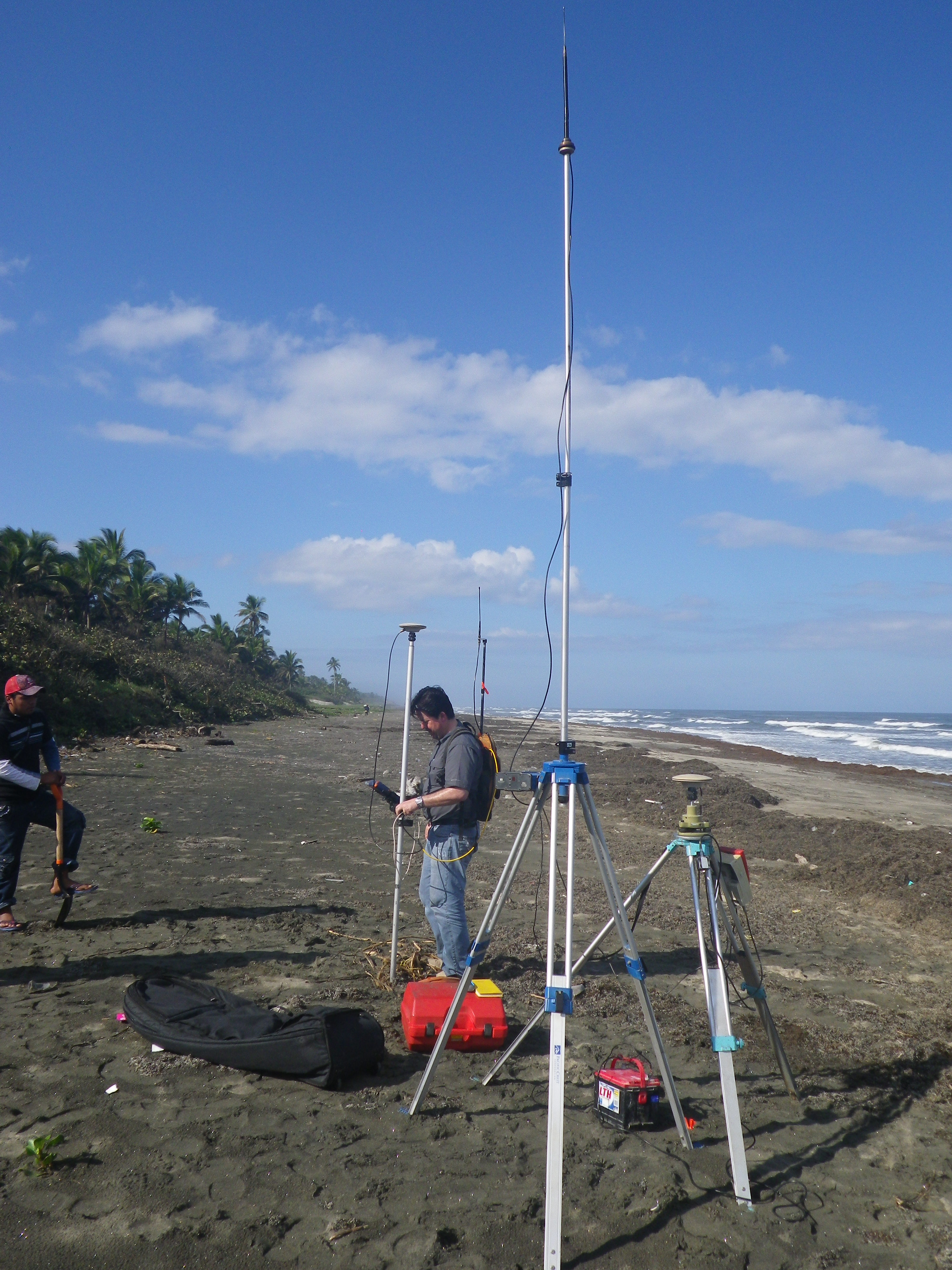
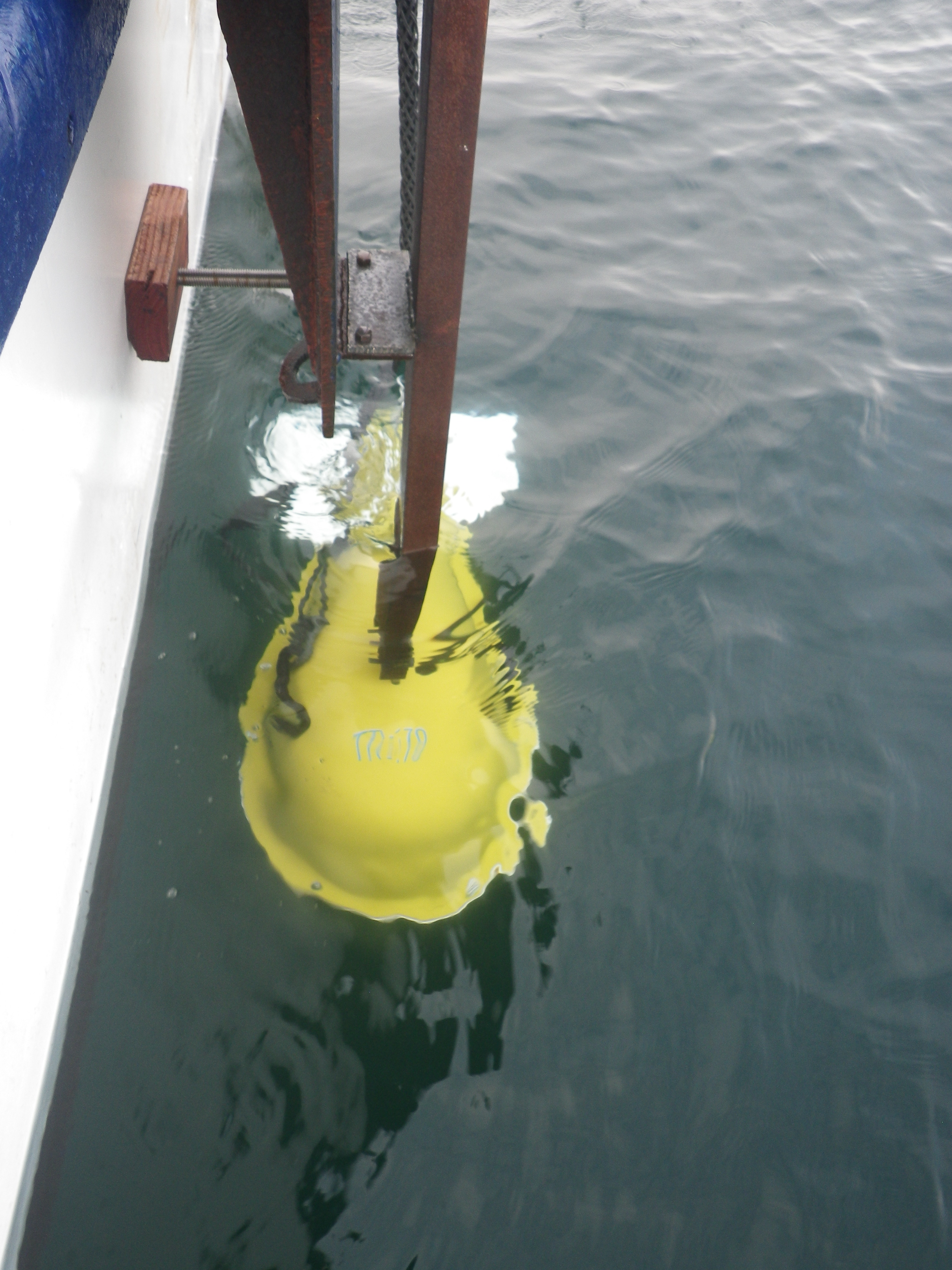
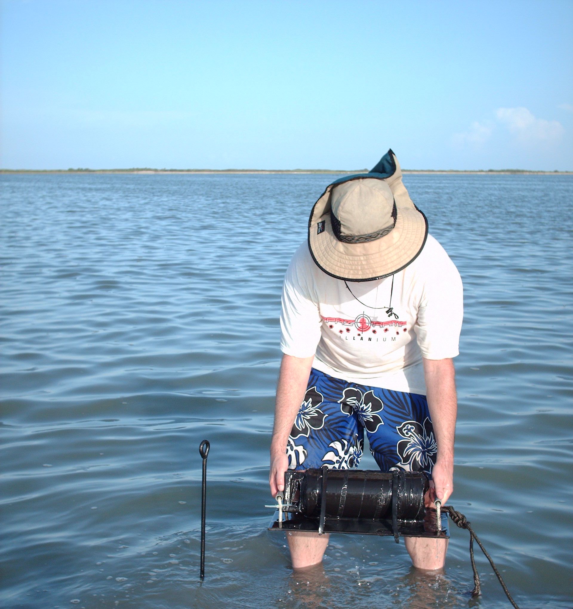
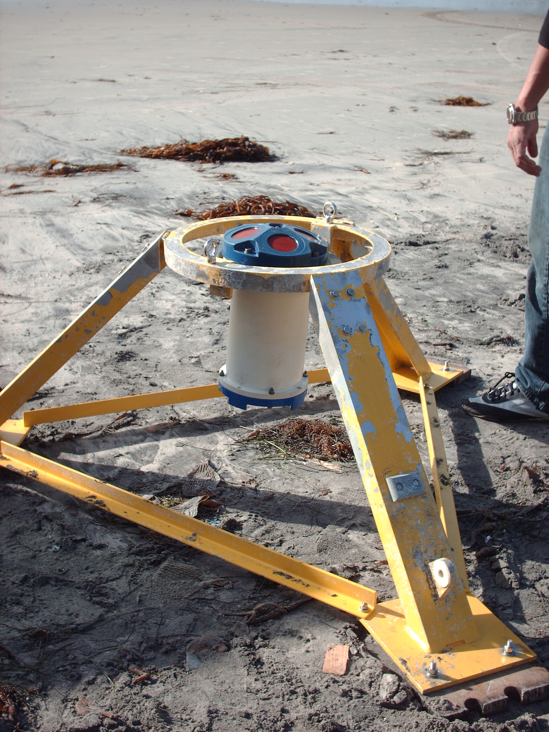
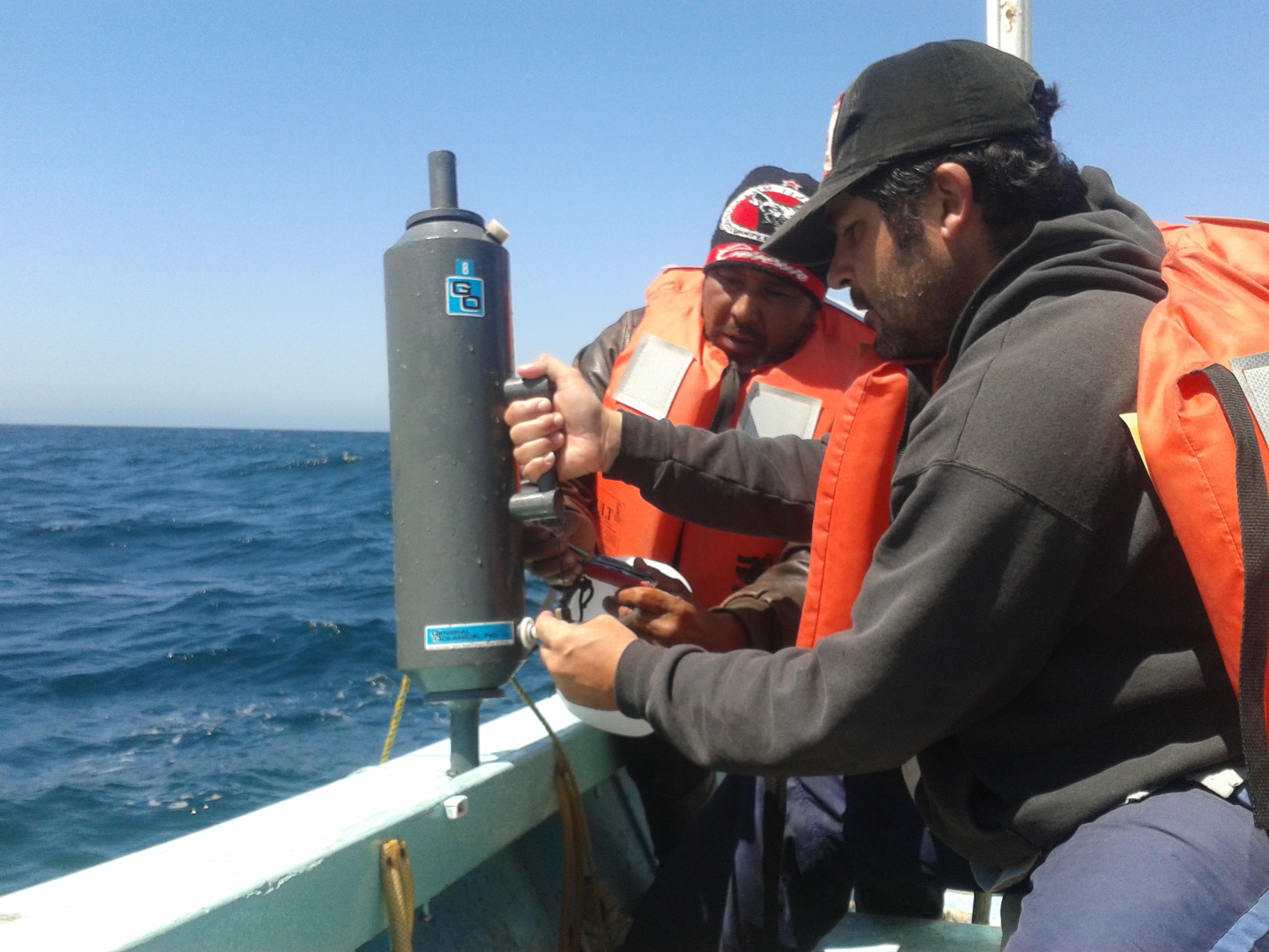
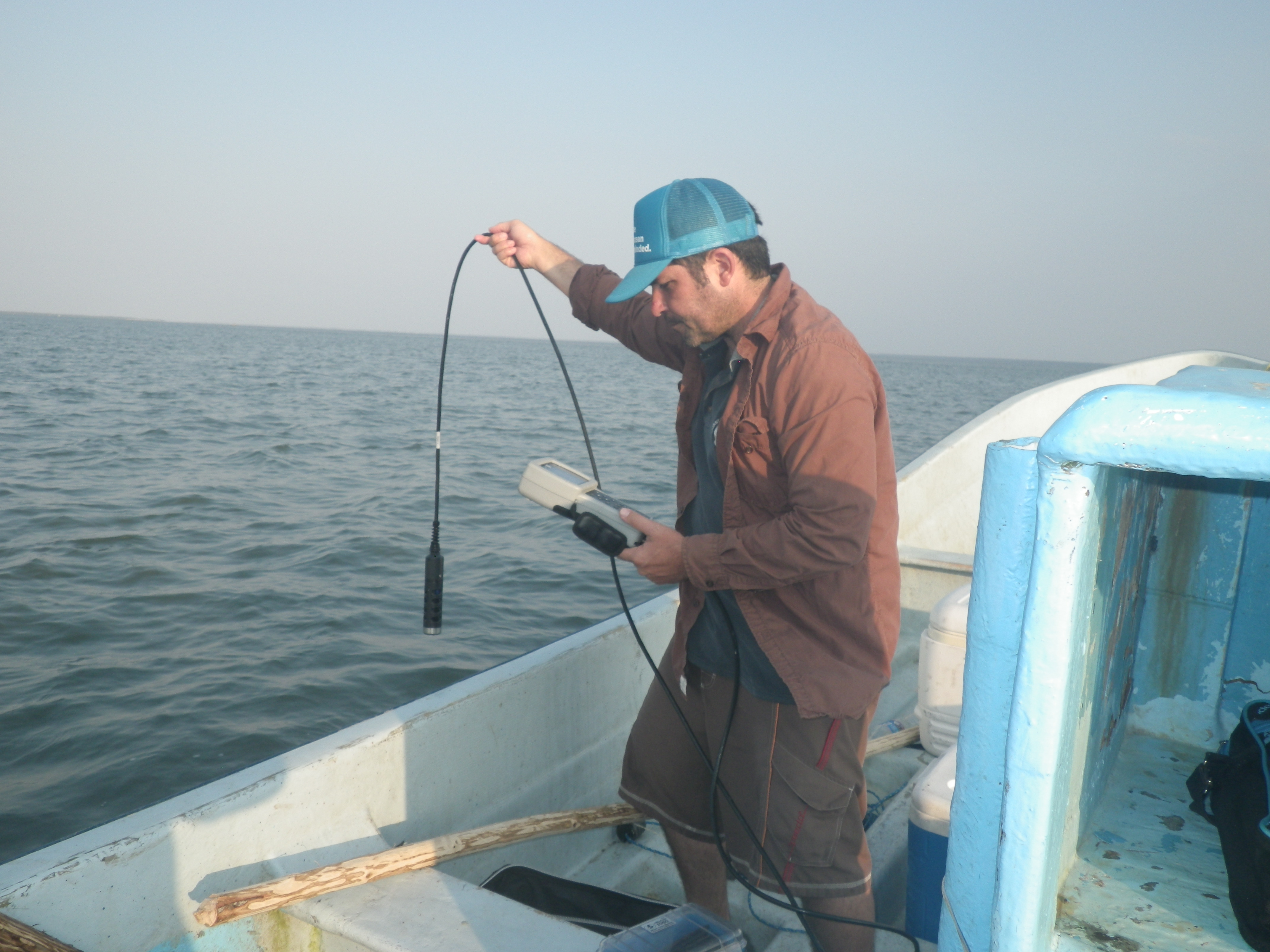
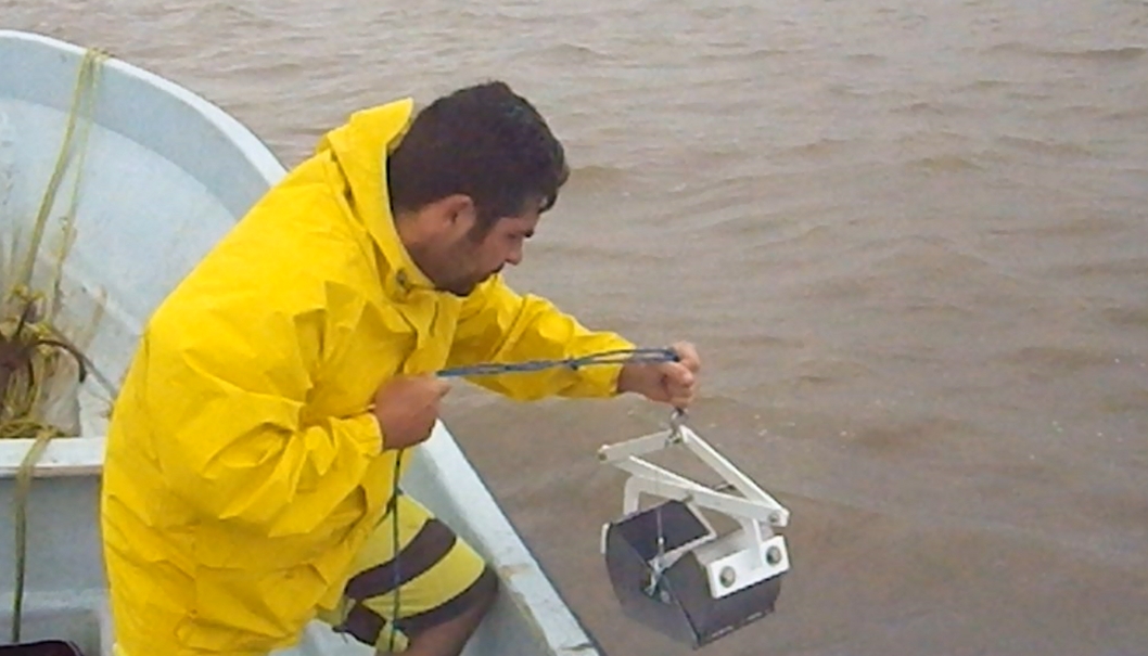
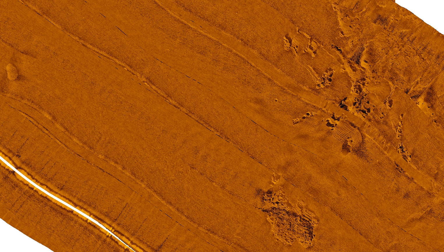
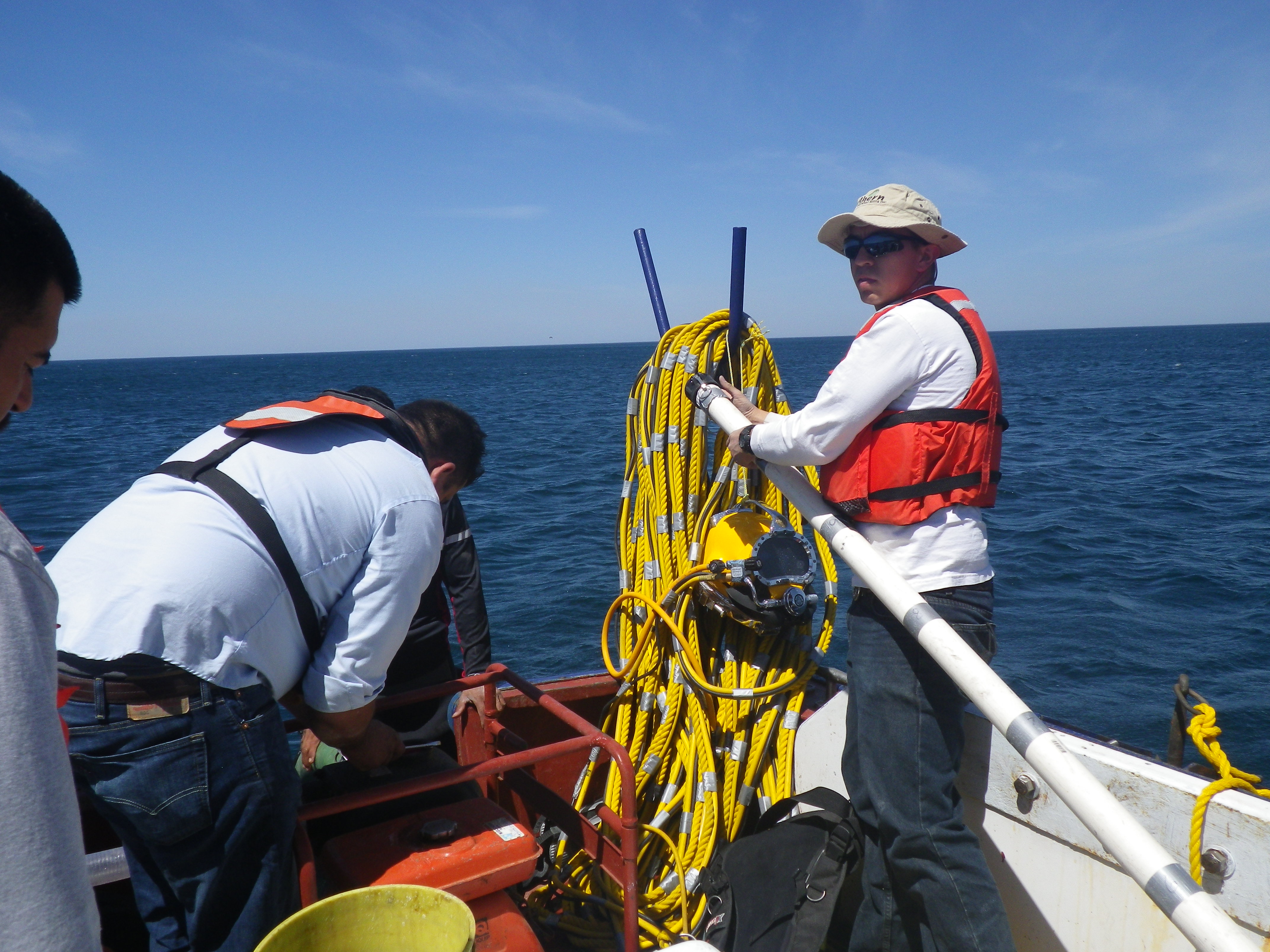
Field data procurement maybe the most important aspect for the whole coastal development project, because the procurement of high quality data guarantee that the calculations and data modeling be the most accurate possible, incrementing the effectiveness of a project. CE Oceanografia specializes in the diverse procurement of oceanographic parameters and has the highest norms and policies to procure data to offer an excellent service to our clients.
CE Oceanografia offers the following data procurement services:
Numerical modelling
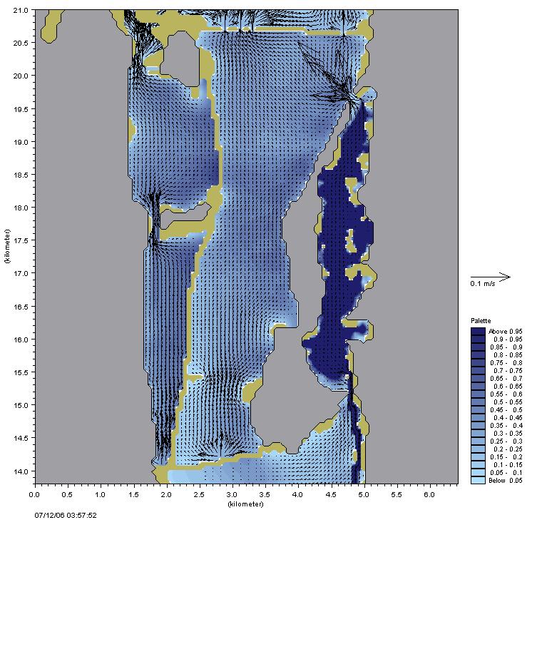
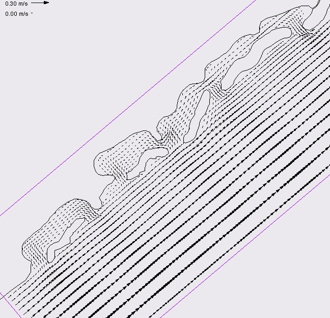
The use of numerical modeling is a very useful and effective tool for the coastal zone and basin management projects. The coastal numerical modeling applications include coastal erosion, structural design, circulation, contaminant and flooding dispersion. Meanwhile in water systems basin, the models are useful in forecasting sediment and contaminants discharges, erosion, flooding, management practices and frequency of occurrence (return periods). CE Oceanografia has various models for diverse applications:
